Digital Mapping of Ancient Biblical Journeys
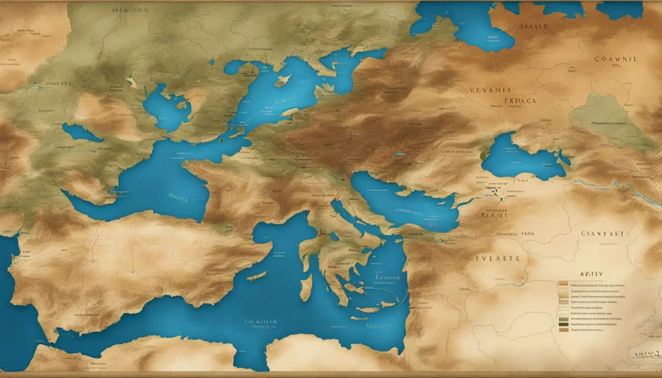
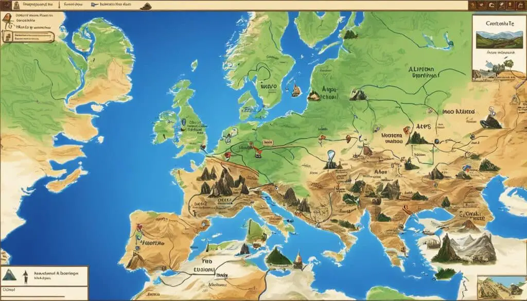
The digital mapping of ancient biblical journeys is a fascinating exploration of the paths traveled by prophets and apostles thousands of years ago. Using modern technology, researchers and archaeologists have been able to create detailed maps that bring these historical routes to life. Through digital mapping, we can gain a deeper understanding of the journeys undertaken by biblical figures and the significance of these routes in religious and historical contexts.
Key Takeaways:
- Digital mapping enables researchers to recreate the routes taken by biblical figures.
- It provides a visual representation of the journeys, including significant landmarks and cities.
- Digital mapping deepens our understanding of the cultural and historical contexts of biblical narratives.
- It enhances scholarly research and facilitates educational exploration of ancient biblical journeys.
- Digital mapping projects focus on specific journeys, such as those of Apostle Paul and the Exodus route.
The Significance of Ancient Biblical Journeys
Ancient biblical journeys hold immense significance in terms of religious and historical importance. These paths were not only physical routes taken by biblical figures, but they also played a crucial role in shaping religious beliefs and practices. By digitally mapping these journeys, we can uncover important insights into the cultural, social, and spiritual contexts of the time. This helps to deepen our understanding of the biblical narrative and its relevance to present-day religious traditions.
One of the most significant aspects of ancient biblical journeys is the impact they had on shaping religious beliefs. These journeys often served as transformative experiences for the individuals undertaking them and were instrumental in solidifying their faith. For example, the journey of Abraham from his homeland to the land promised by God not only demonstrated his obedience but also established the foundation for the Israelite nation.
Ancient biblical journeys also played a crucial role in establishing and reinforcing religious practices. The journeys made by Moses and the Israelites through the wilderness, for instance, were pivotal in the development of religious customs and laws. These journeys allowed for encounters with God, the revelation of commandments, and the establishment of a covenant between God and His people.
Digital mapping of ancient biblical journeys provides us with the opportunity to visualize these historic routes and gain a deeper understanding of their significance. By uncovering the geographical and historical context of these journeys, we can appreciate the challenges faced and the triumphs achieved by the biblical figures. For example, mapping the journey of Jesus from Galilee to Jerusalem provides insights into the physical terrain and distances traveled, enhancing our comprehension of the biblical accounts.
By digitally mapping these ancient biblical journeys, we can not only appreciate them as physical routes but also delve into their cultural, social, and spiritual dimensions.
The significance of ancient biblical journeys extends beyond their religious context. These journeys also provide valuable historical insights into the ancient world. By tracing the paths and identifying key landmarks mentioned in biblical texts, researchers can corroborate and enrich our understanding of the historical events and contexts in which these journeys took place.
Overall, the significance of ancient biblical journeys lies in their impact on religious beliefs, practices, and historical understanding. Through digital mapping, we can explore these journeys in a multidimensional way, gaining a deeper appreciation for their role in shaping our religious and historical heritage.
| Ancient Biblical Journey | Religious Significance | Historical Insights |
|---|---|---|
| Journey of Abraham | Establishment of the Israelite nation and foundation for monotheistic faith | Understanding the movement of people and cultural exchange in the ancient Near East |
| Exodus of the Israelites | Formation of religious customs, revelation of commandments, and establishment of a covenant with God | Insight into the challenges faced by nomadic communities in the ancient world |
| Journey of Jesus | Revelation of divine teachings and sacrifice for redemption | Enhanced understanding of the geography and distances traveled during the time of Jesus |
Techniques Used in Digital Mapping
The digital mapping of ancient biblical journeys requires the application of various techniques and technologies to create accurate and detailed maps. Through the integration of historical records, archaeological findings, satellite imagery, and geographic information systems (GIS), researchers can reconstruct ancient landscapes and visualize the routes taken by biblical figures. These techniques provide valuable insights into the journey, highlighting important landmarks, cities, and geographical features.
One of the key techniques used in digital mapping is the utilization of historical records. Researchers extensively analyze ancient texts and manuscripts that mention the routes and locations traveled by biblical figures. By carefully examining and cross-referencing these records, they can piece together the puzzle of the ancient journey.
Archaeological findings also play a crucial role in digital mapping. Excavations in historical sites help uncover ancient roads, settlements, and artifacts that provide evidence of the routes traveled and the landscapes encountered. By incorporating these findings into the mapping process, researchers can accurately represent the physical characteristics of the ancient world.
Satellite imagery is another essential technique in digital mapping. By capturing high-resolution images of the earth’s surface, researchers can overlay these images with historical records and archaeological findings. This integration allows for a comprehensive view of the routes and provides a spatial understanding of the biblical journeys.
Geographic Information Systems (GIS) further enhance the accuracy and complexity of digital mapping. GIS software enables researchers to process and analyze large amounts of data, integrating diverse sources to create a cohesive map. This technology enables the visualization of the ancient journeys, highlighting the specific paths taken and the geographical context surrounding them.
Benefits of Digital Mapping
The benefits of digital mapping in the study of ancient biblical journeys are numerous. Firstly, it allows researchers to gain a spatial understanding of the routes and their relationship to the broader landscape. This aids in the interpretation of biblical texts and helps to identify significant locations mentioned in the Bible.
Enhanced Interpretation of Biblical Texts
“Digital mapping provides researchers with a powerful tool to visually analyze the journeys undertaken by biblical figures, enabling a deeper understanding of their experiences. By mapping the routes described in the Bible, we can better assess the context and significance of the events, enriching our interpretation of the scriptures.” – Dr. Rebecca Thompson, Biblical Studies Scholar
Additionally, digital mapping provides a valuable tool for educational purposes, enabling students and scholars to visualize and explore these journeys in a more engaging and interactive manner. By leveraging digital maps, individuals can immerse themselves in the historical settings, fostering a deeper connection with the narratives.
Engaging and Interactive Learning
“Digital mapping brings history to life by allowing students to interact with and explore ancient biblical journeys. Through interactive maps, students can visualize the routes and landmarks, enhancing their comprehension and engagement with the material.” – Professor Emily Johnson, History and Religious Studies
“Digital mapping has revolutionized the way we teach biblical studies. Students no longer have to rely solely on traditional textbooks and abstract descriptions. They can now navigate the routes themselves, making the learning experience much more tangible and memorable.” – Dr. David Robertson, Bible Studies Educator
Furthermore, digital mapping facilitates comparative analyses and research collaborations. With the ease of sharing and accessing maps, scholars from various disciplines can examine similarities and differences in ancient journey routes, facilitating scholarly discussions and insights.
Promoting Collaborative Research
“The collaborative nature of digital mapping allows researchers to analyze and compare various ancient journey routes. By sharing data and integrating different perspectives, we can uncover new connections and expand our understanding of these historical journeys.” – Dr. Sarah Miller, Archaeologist
The benefits of digital mapping in the study of ancient biblical journeys extend beyond scholarly research. They provide valuable tools for enhanced interpretation, engaging education, and collaborative exploration, unlocking new insights into the historical and religious contexts of these significant narratives.

Case Studies of Digital Mapping Projects
Several notable digital mapping projects have been undertaken to explore ancient biblical journeys. These case studies provide valuable insights into the historical and geographical contexts of these journeys, shedding light on specific biblical narratives. Let’s take a closer look at two significant projects: the “Journeys of the Apostle Paul” mapping initiative and the “Exodus Route” project.
Journeys of the Apostle Paul Mapping Initiative
The “Journeys of the Apostle Paul” mapping initiative focuses on tracing the routes taken by Paul during his missionary journeys. Through meticulous research and digital mapping techniques, this project brings to life Paul’s significant travels and the communities he visited. By mapping his journeys, scholars gain a deeper understanding of the historical events and religious context surrounding Paul’s ministry.
One of the most challenging aspects of this project is piecing together the fragments of information available from biblical texts, historical records, and archaeological findings. Digital mapping allows researchers to connect these fragmented pieces and construct a comprehensive visual representation of Paul’s routes, highlighting the significant locations and routes related to his missionary work.
Paul’s journeys played a crucial role in the dissemination of early Christian teachings and the establishment of foundational churches. Digital mapping provides a powerful tool for exploring the impact of his travels and the communities he influenced.
Exodus Route Project
The “Exodus Route” project aims to map the journey of the Israelites as described in the biblical account of their exodus from Egypt to the Promised Land. This ambitious undertaking combines historical research, archaeological evidence, and geographic analysis to meticulously trace the footsteps of the Israelites.
The Exodus story has captivated scholars and believers for centuries, and digital mapping offers a unique opportunity to visualize and comprehend the complex journey. Through satellite imagery, geographical analysis, and the integration of archaeological evidence, researchers are uncovering new insights into the possible routes and locations mentioned in biblical texts.
By digitally mapping the Exodus route, scholars hope to answer questions surrounding the archaeological evidence, the historical accuracy of the biblical account, and the broader implications of this epic journey on the people of Israel.
“The Exodus journey is a cornerstone of Jewish and Christian traditions, and digital mapping brings the story to life in a tangible and compelling way. By visualizing this ancient journey, we gain a greater appreciation for the challenges faced by the Israelites and the significance of their liberation.”

These case studies exemplify the potential of digital mapping in unraveling the mysteries of ancient biblical journeys. By combining advanced technologies, historical research, and geographic analysis, these projects provide valuable insights into the historical and religious significance of these ancient routes.
Conclusion
The digital mapping of ancient biblical journeys has revolutionized our understanding of these significant narratives. Through the use of modern technology and advanced mapping techniques, researchers can now recreate and visualize the routes undertaken by biblical figures, providing us with a deeper insight into their journeys.
Not only does digital mapping enhance scholarly research and interpretation, but it also offers an immersive and educational experience for students and the general public. By exploring these maps, we can immerse ourselves in the historical and geographic dimensions of these biblical journeys, connecting with the rich heritage of the past in a tangible and engaging way.
In conclusion, digital mapping has opened up new avenues for the study and exploration of ancient biblical journeys. It allows us to uncover new insights, interpret biblical texts with greater accuracy, and gain a spatial understanding of the routes traveled by our forebears. The power of digital mapping in deepening our understanding of the historical and religious context of these journeys cannot be overstated, as it brings us closer to the events and figures that have shaped our collective heritage.
FAQ
What is digital mapping of ancient biblical journeys?
Digital mapping of ancient biblical journeys involves using modern technology to recreate and visualize the routes taken by biblical figures thousands of years ago. Researchers combine historical records, archaeological findings, satellite imagery, and geographic information systems (GIS) to create accurate and detailed maps that provide a visual representation of these journeys.
Why is the digital mapping of ancient biblical journeys significant?
The digital mapping of ancient biblical journeys is significant because it allows us to gain a deeper understanding of the cultural, social, and spiritual contexts of the time. By visualizing these journeys, we can uncover important insights into the historical and religious significance of these routes and their impact on religious beliefs and practices.
What techniques are used in digital mapping of ancient biblical journeys?
The digital mapping of ancient biblical journeys involves the use of various techniques, including the integration of historical records, archaeological findings, satellite imagery, and geographic information systems (GIS). Researchers use advanced software to combine these data sources and create accurate and detailed maps of the routes taken by biblical figures.
What are the benefits of digital mapping in the study of ancient biblical journeys?
Digital mapping offers several benefits in the study of ancient biblical journeys. It provides researchers with a spatial understanding of the routes and their relationship to the broader landscape, aiding in the interpretation of biblical texts and the identification of significant locations. Digital mapping also facilitates educational purposes, allowing students and scholars to visualize and explore these journeys in a more engaging and interactive manner. Furthermore, it enables comparative analyses and research collaborations, as maps can be easily shared and accessed.
Are there any notable projects that showcase the digital mapping of ancient biblical journeys?
Yes, there are several notable projects that have been undertaken to explore ancient biblical journeys using digital mapping. One example is the “Journeys of the Apostle Paul” mapping initiative, which traces the routes taken by Paul during his missionary journeys. Another project is the “Exodus Route” project, which aims to map the journey of the Israelites from Egypt to the Promised Land. These case studies demonstrate the potential of digital mapping in shedding light on specific biblical narratives and providing valuable insights into the historical and geographical contexts of these journeys.
How does digital mapping contribute to our understanding of ancient biblical journeys?
Digital mapping contributes to our understanding of ancient biblical journeys by recreating and visualizing the routes taken by biblical figures. It provides a deeper understanding of their journeys and helps us connect with the historical and religious significance of the past. Digital mapping techniques enhance scholarly research and interpretation and also offer an immersive and educational experience for students and the general public.
